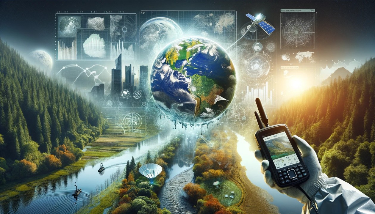
Understanding the Basics: What Are GIS and GPS?
In our rapidly evolving world, making informed decisions based on accurate and comprehensive data is more critical than ever. Geographic Information Systems (GIS) and Global Positioning Systems (GPS) are powerful tools that have transformed how we collect, analyse, and interpret spatial data.
GIS is designed to capture, store, manipulate, analyse, manage, and present spatial or geographic data. It allows us to visualise, interpret, and understand data in ways that reveal relationships, patterns, and trends. Whether you’re mapping out natural disaster risks, urban planning, or tracking wildlife migration, GIS offers a framework for gathering and analysing geographically referenced data.
On the other hand, GPS is a satellite-based navigation system that provides location and time information anywhere on Earth. GPS has become an integral part of our daily lives, from guiding us on road trips to helping farmers manage their crops with precision agriculture. The combination of GIS and GPS has opened up new possibilities for data collection and decision-making across various industries.
The Intersection of GIS and GPS: A Perfect Partnership
While GIS and GPS can function independently, their true power is unleashed when used together. GPS provides the raw location data, while GIS helps us interpret and analyse that data to make informed decisions.
Imagine you’re a city planner tasked with improving traffic flow in a busy urban area. GPS data can provide real-time information on vehicle locations and movements, but without a system to analyse that data, it remains just a collection of points on a map. This is where GIS comes into play. Integrating GPS data into a GIS allows you to create detailed maps highlighting traffic hotspots, identifying patterns, and testing potential solutions.
This partnership is also invaluable in emergency response situations. When a natural disaster strikes, time is of the essence. GPS can quickly provide the precise locations of affected areas, while GIS can analyse this data to assess the extent of the damage, plan evacuation routes, and allocate resources efficiently.
Applications of GIS and GPS in Various Industries
Environmental Conservation
One of GIS and GPS’s most significant applications is environmental conservation. Conservationists and researchers use these tools to monitor ecosystems, track wildlife, and manage natural resources. By mapping habitats, tracking animal movements with GPS collars, and analysing environmental data, they can make informed decisions to protect endangered species and preserve critical habitats.
Urban Planning and Development
Urban planners rely on GIS and GPS to design sustainable cities. These tools help planners make data-driven decisions that balance growth with environmental protection, from mapping out transportation networks to analysing land use patterns. GIS GPS mapping enables planners to visualise the impact of new developments, optimise infrastructure, and create livable and resilient communities.
Agriculture and Precision Farming
GIS and GPS have revolutionised farming practices. Precision agriculture uses GPS to guide machinery accurately, ensuring crops are planted, watered, and harvested with minimal waste. Conversely, GIS allows farmers to analyse soil conditions, monitor crop health, and manage resources more efficiently. The result is increased productivity and sustainability in farming.
Disaster Management and Emergency Response
When disaster strikes, GIS and GPS are crucial tools for emergency responders. GPS provides real-time location data, while GIS helps analyse and visualise this data to assess damage, plan evacuation routes, and deploy resources effectively. For example, GIS GPS mapping can identify areas at risk of flooding during a hurricane, allowing for timely evacuations and targeted relief efforts.
Making Informed Decisions: The Power of GIS and GPS in Action
The combination of GIS and GPS offers a powerful way to transform data into actionable insights. By collecting precise location data with GPS and analysing it with GIS, decision-makers can make more informed choices that lead to better outcomes.
In public health, for example, GIS can map disease outbreaks and identify patterns, helping to contain the spread of infections. GPS data can optimise routes, reduce fuel consumption, and improve delivery times in transportation. In these cases, the ability to visualise and analyse data in a geographic context leads to more effective decision-making.
Challenges and Future Trends
While the benefits of GIS and GPS are undeniable, there are also challenges. Data accuracy, privacy concerns, and the need for specialised skills to analyse complex data are some of the issues that organisations must address. However, as technology advances, we can expect to see even more innovative applications of GIS and GPS in the future.
Emerging trends such as integrating artificial intelligence with GIS and GPS promise to further enhance our ability to make data-driven decisions. AI can help automate the analysis of large datasets, identify patterns that may not be immediately apparent, and provide predictive insights that guide decision-making.
Conclusion: Embracing the Power of GIS and GPS
In today’s data-driven world, making informed decisions is crucial. GIS and GPS provide the tools to collect, analyse, and interpret spatial data, transforming raw information into actionable insights. Whether protecting the environment, planning our cities, or responding to emergencies, the combination of GIS and GPS empowers us to make smarter, more informed decisions.
As technology continues to evolve, so will how we use GIS and GPS. By embracing these tools and integrating them into our decision-making processes, we can unlock their full potential and pave the way for a more informed and connected future.
Stay in touch to get more updates & news on Mystories List!